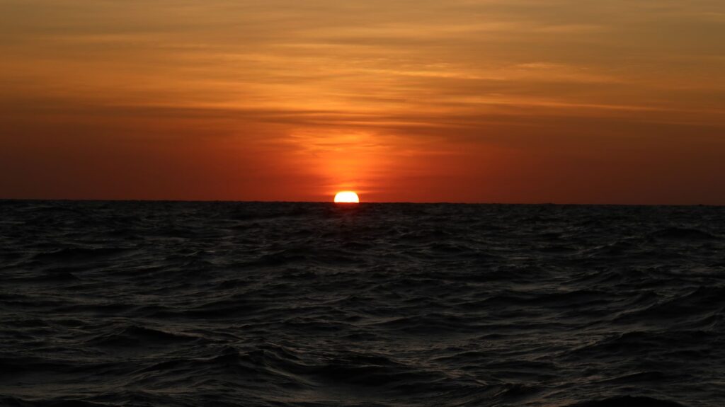
After sailing west passed the Great Barrier Reef it was after midnight and I had a straight run of about 25 nm into and across the inside shipping channels. I decided to take it slow and use the opportunity to get some sleep so I set the sails to give me about 4 – 4.5 knots. This would put me close to York Point (the northernmost point in Australia) and York Island around sunrise. I planned to stop near there and anchor to wait for favorable west-setting tidal currents in the channel running by Thursday Island. No ships were showing on the AIS in the shipping channels so I was actually able to get a few hours of solid sleep, waking an hour before first light a 6 am.
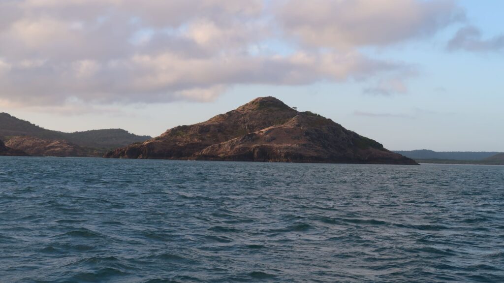
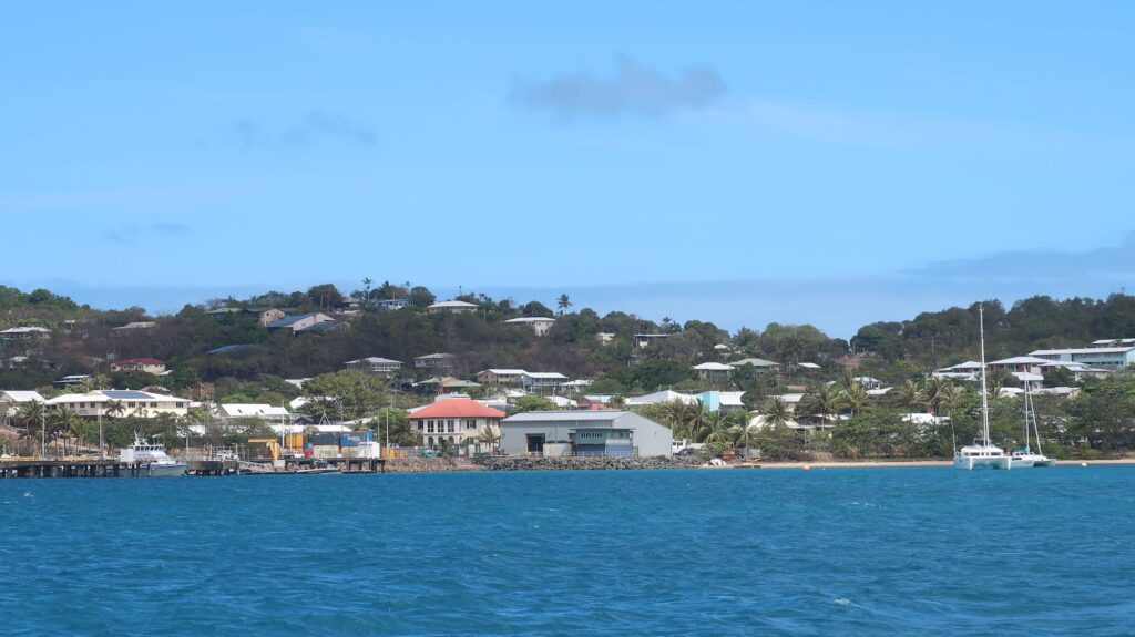
I cruised passed York Island early and realized, after rechecking the tide tables at Thursday Island, there was a slack tide at 1035 following a (west-setting) flood tide. I could easily make that one if I used the engine. I never want to hang around at anchor just killing time if I can keep moving. The timing worked about right, though I was surprised to get hit with about 3 knots of counter-current in the channel west of the town of Thursday Island. It may have been an eddy current in the complicated channel.
I pushed on into the Arafura Sea which at that point is really pretty shallow – about 10-20 meters. It’s easy to see how a land bridge could have connected Australia and Papua New Guinea in the distant past. I got some useful wind on the stern letting me wing out the mainsail and genoa set on the whisker pole. That comfortable cruising west across the Arafura Sea last a few days but I knew from the weather forecasts the doldrums were coming, and they were brutal. Except for some interludes with useful wind that lasted only a few hours, I had to start motoring even before turning south through the Dundas Strait toward Cape Don. The temperature rose, and with no breeze, I was getting cooked by temperatures over 100 degrees F.
The route to Darwin through the Dundas Strait passed Abbot Shoal, Rooper Rock, and then the Howard Channel into Clarence Strait has its own challenging tidal current conditions. I had the predictions for the current speeds and directions but with that long a route it’s not possible to hit it all at the right time because the tidal current reverses every 6 hours, generally. I had to make some compromises in my calculations so it would average out reasonably well. As I wrote down my numbers I remember sweat dripping off my head onto the paper smearing what I had just written. I also started to develop a heat rash – a first for me. Having fun now!
The water along this route was also shallow, about 20 meters, making the water a pretty turquoise over a sand bottom. With the excessive heat, though, it was like motoring across the surface of a giant hot tub. I did manage to hit the strongest current spot in the Howard Channel with a following current well after dark, and was now trying to figure out a place where I could get some sleep. I wanted to arrive at the entrance to Darwin Harbour, where several big ships were anchored, at daylight and reasonably well-rested because I would have to maneuver my way passed them. From the Clarence Strait I had about 16 nm left sailing (motoring) south to the harbor entrance. I pointed the boat in that direction, throttle back to almost idle so I was only going about 2-3 knots, and went to bed setting the alarm for around sunrise. There were no other ships around at that time so I counted on any that might show up to avoid me. Keeping a consistent course and speed, even if slow, makes it easier for them to do that. Trying to get some sleep in busy waterways, or in areas with reefs or land to avoid, has turned out to be one of the bigger challenges of solo sailing.
The timing worked out about right. I was still a few miles from the harbor entrance and big ships when I woke up an hour before first light. I could see the bright lights on the big ships in front of me and a faint glow of Darwin lights on the eastern horizon.
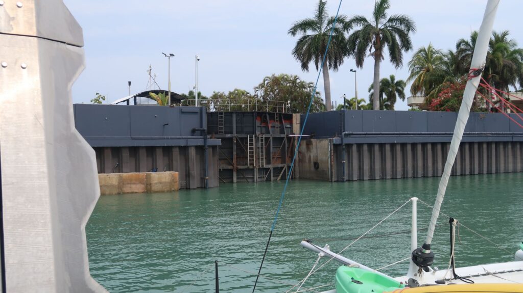
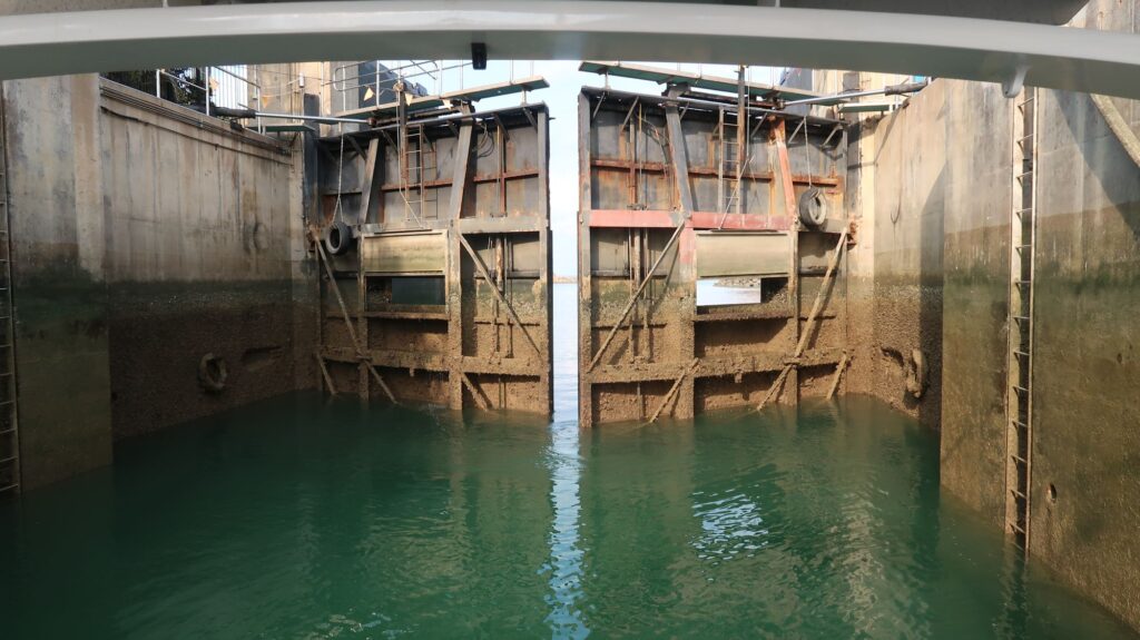
My final timing issue was entering the Cullen Bay Marina. The marinas in Darwin, and generally in this part of Australia, are behind locks because of the significant tidal changes that occur here, sometimes 6-8 meters. However, the locks at the entrances to the marinas inhibit the normal exchange of water that happens between the marina and the sea so the marina water is relatively stagnant promoting the growth of water born pests of various types brought in on yachts arriving from foreign places. In the past, this has led to some highly polluted marinas with substantial clean-up costs.
To mitigate the problem, the department of Aquatic Biosecurity now requires yachts arriving from foreign locations to have their sea water systems treated with a chemical to kill the pests. I needed an appointment for this treatment that’s done at the pontoon just outside the lock into the marina. I couldn’t get a time until the afternoon of my arrival so after making my way down the shipping channel toward the marina I diverted to the north and anchored in Fannie Bay. It’s not well-protected but the holding is great in shallow water (about 3 meters at low tide when I was there). I upped anchor in the afternoon and motored about a mile to the pontoon where the treatment was completed by a diver injecting the chemical up into the seawater systems through the seacocks in the hull. It didn’t cost me anything but they told me they may start charging yachts for it in the future. Once the chemical was in the systems I had to leave it for 10 hours so I couldn’t start my engine and go anywhere. Ten hours ended at 1 am, but I was comfortable tied to the pontoon and wouldn’t go through the lock into the marina until the next morning. I could get off the boat, however, wander around exploring the Cullen Bay area and have dinner at one of the restaurants there (crocodile carbonara that first night).
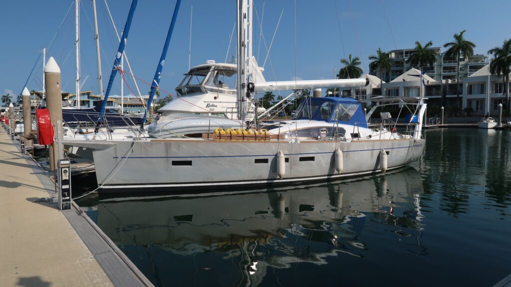
Moving to my berth through the lock the next morning was a new experience but made easier with a local sailor I met on the pontoon who offered to come by at 0800 to help me with mooring lines. Phywave is now securely tied up in berth A14 at the Cullen Bay Marina where it will stay for the next several months.
I have a long list of maintenance items I compiled while sailing that I want to complete while here. Some can be done in the next 2-3 weeks, and others like repairs to the dodger and bimini, will take longer. I will also be sending my mainsail away to an ace sail maker in Sydney for a more permanent repair to replace the temporary patches I’ve been living with. I expect to fly home in early December and return to the boat in the Spring to resume my voyage. I have a lot of weather research to do on how best to land someplace in Asia (for continent #6) and then continue across the Indian Ocean to South Africa.